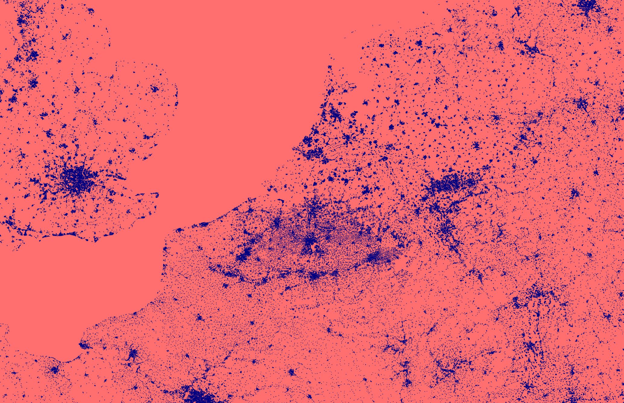
Insights on landscape accessibility challenged by new infrastructures for climate resilience: The case of the Belgian Coastal area.
The socio-economic impact of nature in Belgian coastal landscapes on a regional scale is high (Berends, 2007 and Ruimte Vlaanderen, 2013) due to its general attraction for visitors and it’s strongly developed tertiary service economy and other related sectors (tourism, residential, agriculture…). Due to climate changes however, these coastal landscapes and their required accessibility and continuous character are threatened by the unavoidable planned infrastructures (dikes, new connections, floodable areas, etc.) that will generate ruptures, frictions and additional transition spaces within the landscape.
In Flanders, water issues, drought and storm damage are the core issues of climate shocks. In any case, Flanders urgently needs to unfold policies and strategies to avoid or reduce the undesirable effects of the expected changes. The landscapes of the coastal zones will be confronted first with effects due to climate change. The most influential changes for the coastal zone will be: sea level rising, increase of the temperature, changing rainfall patterns, floods, fragmentation of the ecological system, salinization of the soil and reduced drainage capabilities to sea. A thoughtful planning policy forms the necessary key to a sustainable development.
As an answer to the challenge of climate change in the Belgian coast, policies and plans have been developed and implemented at a European, national, regional and local level (Ruimtelijk Structuurplan Vlaanderen 1997-2011; Coast Action Plan “Nature and Landscape” as a EU LIFE project 2007; Marien Ruimtelijk Plan voor Noordzee 2014; Masterplan Kustveiligheid 2013, Masterplan Vlaamse Baaien MOW; Metropolitaan Kustlandschap 2100 by Team Vlaams Bouwmeester/Mobiliteit Openbare Werken/Ruimte Vlaanderen 2013 etc). These policies and plans lead to the formulation of spatial proposals for mitigation and adaptation, related to major infrastructural works planned for the next decades. Most of these infrastructures, conceived at a large scale generate a different model of accessibility for the Belgian Coastal landscape (CcASPAR: Kimaat in Vlaanderen als ruimtelijke uitdaging, Gent: Academia Press, 2012): the relation dry/wet is often inverted, topographic changes imply discontinuities in the landscape, roadways and paths need to be reconfigured to guarantee connectivity. These measures change the overall accessibility and permeability of the region and will change drastically this landscape can be inhabited.
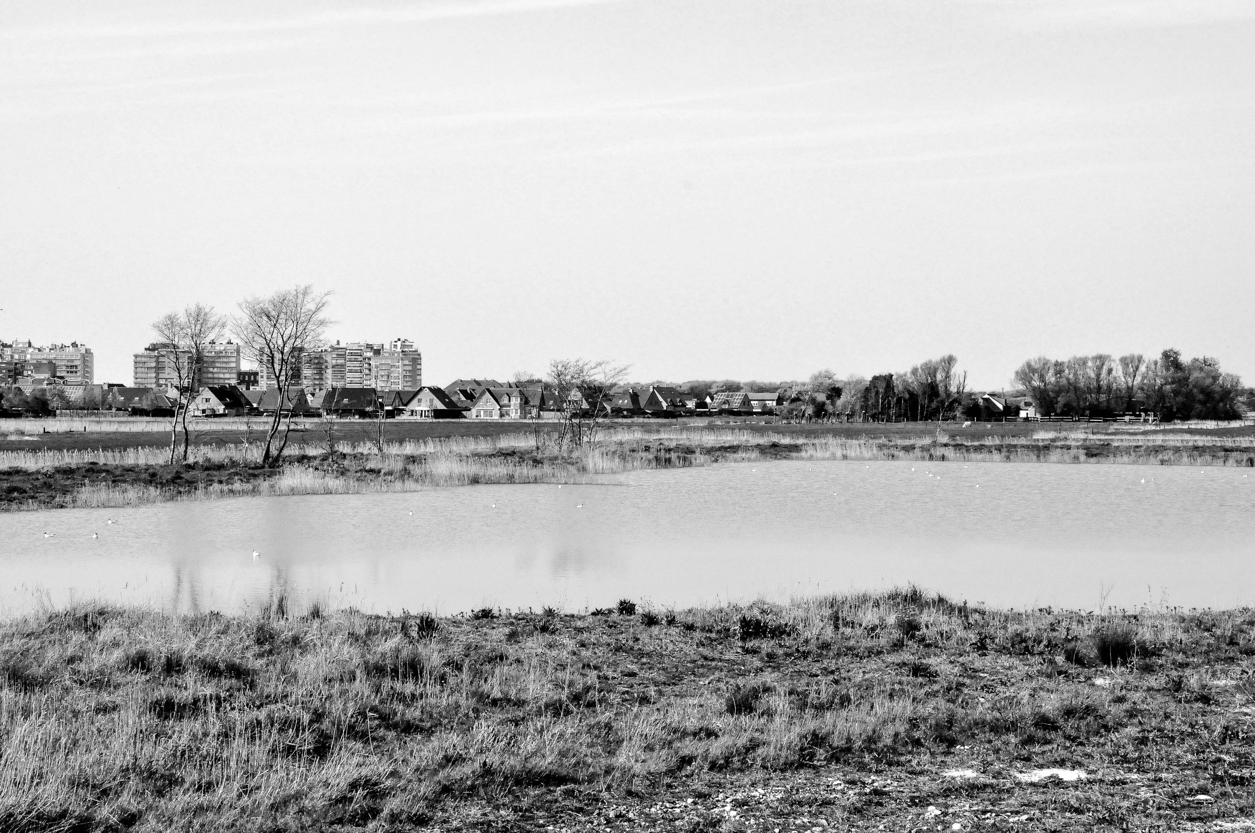
The aim (or objective) of the research is to produce insights on how to improve access to the coastal landscapes by developing a case study at the Belgian Coast, the Uitkerkse Polders. This case study and the following exploration of spatial strategies to improve the accessibility will contribute to the discussion of improving the socio-economic impact of nature in this region. The objective is to provide answers to how climatological pressure will manifest itself in the landscape, more specifically in an area like the Uitkerkse Polders and to what extent the pressure of climate change will have an impact on access to agricultural, urbanized or natural systems.

Water as a protagonist of the architectural intervention at the intermediate scale.
PhD project, Sis Pillen (prom. prof. Dr. Kris Scheerlinck, co-prom. Dr. Erik Van Daele)
Comments are closed.